-

Dvara E-Registry launches Micro LAP for small farmers, crosses INR 150 cr
09-Jul-2025 - 0 Comments.
Dvara E-Registry unveils Micro LAP loans for agri entrepreneurs, surpasses ₹150 crore in disbursements across 5 states using satellite-powered credit tech.
-
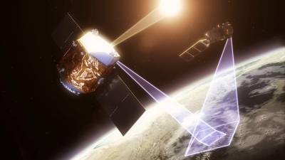
Satlantis announces strategic investment from Encino for satellite-based GHG
01-Apr-2022 - 0 Comments.
Satlantis LLC, a US technology leader in high precision miniaturized satellites and cameras is pleased to announce a strategic investment from Encino Environmental Holdings LLC (Encino).
-
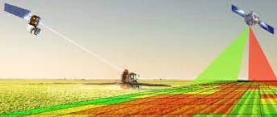
Wyvern secures USD 4m from SDTC for satellite based farming
11-Feb-2022 - 0 Comments.
Wyvern, a satellite technology startup based in Edmonton, has secured a USD 4m CAD investment from Sustainable Development Technology Canada (SDTC), according to a local media report.
-
Skylo helps fishermen sell their catch before they reach shore offering higher profits
24-Aug-2021 - 0 Comments.
Skylo, the world’s first and most affordable end-to-end satellite narrowband IoT solution, today announced the introduction of its “Fish Catch Report,” the world-first mobile communications solution that allows fishermen and boat owners to sell their catch immediately after bringing the fish onto the boat, before they reach shore.
-
Top 5 Misconceptions About Satellite Imagery for Agriculture
01-Jul-2021 - 0 Comments.
From the early days of Landsat to present-day commercial providers, agriculture has been one of the largest adopters of satellite imagery. By partnering with leading agricultural companies over the years, we've gained a window into the day-to-day challenges, concerns, and opportunities that growers have across the globe.
-
ICICI Bank to use satellite imagery to assess creditworthiness of farmers
28-May-2021 - 0 Comments.
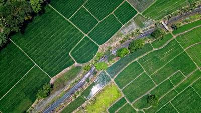
ICICI Bank has announced a unique way to assess the creditworthiness of a specific group of customers. The bank will use satellite data imagery to measure an array of parameters related to the land, irrigation, and crop patterns and use it in combination with demographic and financial parameters to make quick lending decisions for farmers.
-
Five startups making Indian farmers self-reliant by providing agronomic intelligence
14-Dec-2020 - 0 Comments.
Agritech in India has seen a skyrocketing growth with numerous startups emerging with new technologies and advanced methods such as data analytics, machine learning and satellite imaging, among others to cater to the needs of Indian farmers and maximize their output.
-
Centre to use geospatial technology for conducting sample surveys
28-Jan-2018 - 0 Comments.
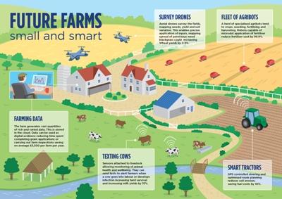
The Central government is working on a combination of traditional and modern technology like satellite imagery for crop acreage and yield estimation to build up a much more sophisticated analysis and ensure accurate agriculture forecasts
-
SAFARI Symposium to formulate road map for fisheries development
11-Jan-2018 - 0 Comments.
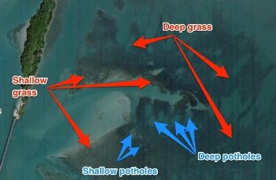
In a major attempt to utilise the global expertise for making use of satellite data for the development of India’s marine fisheries sector, the Central Marine Fisheries Research Institute (CMFRI) is all set to host the second international symposium on SAFARI
-

CMFRI to utilise prospects of satellite technology in fisheries
16-Nov-2017 - 0 Comments.
In a major attempt to improve the country’s fisheries sector, the Central Marine Fisheries Research Institute (CMFRI) now focuses on utilizing the satellite data for the favour of India’s marine fisheries
🔀Search


